Septic Tank Locating & Mapping In The Lucedale, MS Area


Our Precise Septic Tank Locating & Mapping in Lucedale, MS
We provide precise septic tank locating and mapping in Lucedale, MS, for property owners who need clear answers about what lies below the ground. Many properties change hands over time, and original system records are often missing or incomplete. Locating and mapping services clarify where tanks, lines, and access points are, so future work can proceed without unnecessary digging or damage.
Our septic tank locating and mapping services focus on identifying system components accurately and documenting their positions practically. The process helps avoid guesswork during inspections, maintenance, or upgrades. Clear mapping supports safer planning for landscaping, construction, or property improvements by showing where sensitive system areas exist and how wastewater flows across the site.
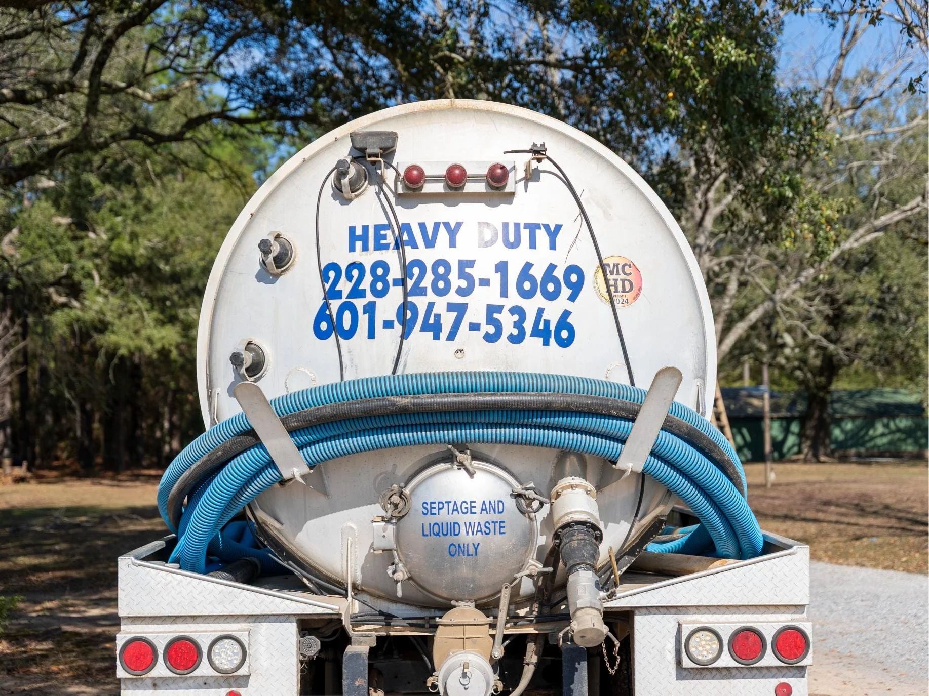
Heavy Duty Pumping & Septic performs septic tank locating and mapping for residential and light commercial properties throughout Lucedale, MS. Experience with local system layouts and soil conditions supports reliable identification methods. Each mapping service prioritizes accuracy, clear communication, and usable documentation, giving property owners confidence when making decisions that affect septic system care and long-term property planning.

Opening hours

Types of Grease Trap Services We Offer in Lucedale, MS
Electronic Septic Tank Locating
Electronic septic tank locating uses specialized equipment to identify buried tanks and lines without excavation. The process traces system components beneath the surface with minimal disruption. Property owners gain faster answers and clearer direction. This service matters because accurate locating reduces guesswork, prevents accidental damage, and supports safer planning for inspections, maintenance, or future property work.
Drain Field Mapping
Drain field mapping identifies the location and layout of underground absorption areas connected to the septic system. The mapping shows where treated wastewater disperses into the soil. Property owners gain visibility into sensitive areas. This service matters because understanding drain field placement helps protect system performance and prevents damage during landscaping, construction, or heavy equipment use.
Property Septic Layout Documentation
Property septic layout documentation provides a clear record showing tank, line, and drain field locations. The documentation supports future service, inspections, or property changes. Property owners gain usable reference material. This service matters because documented layouts reduce confusion, streamline future work, and support informed decisions when property plans or ownership change.
What Happens During Our Septic Tank Locating and Mapping Visit in Lucedale, MS

Initial property review and background discussion
The visit begins with a conversation about the property's known system history, past service, and any visible clues. Property owners may point out records, surface features, or areas of concern. This step matters because shared context helps narrow search areas, reduces time spent guessing, and guides locating efforts toward the most likely system paths beneath the ground.

Surface scanning and signal tracing across the property
Specialized locating tools are used to scan the ground for buried tank lids, pipes, and drain field lines. Property owners often notice slow, methodical passes across yards or open areas. This step matters because surface tracing identifies underground components without digging, reducing disruption while improving accuracy before any physical confirmation work begins.
Drain field identification and boundary mapping
The absorption area connected to the septic system is located and outlined based on signal patterns and layout logic. Property owners gain clarity on where wastewater disperses into the soil. This step matters because understanding drain field boundaries helps avoid compaction, root intrusion, or damage that can affect long-term system performance.
Confirmation of tank and line positions
Once signals indicate likely locations, positions are confirmed through measured alignment and depth assessment. Property owners receive explanations about how the system connects and flows underground. This step matters because confirming exact placement prevents future excavation mistakes and helps protect critical components during inspections, maintenance, or construction projects.
Documentation and clear explanation of findings
The process concludes with mapped information shared in a usable format and explained in plain language. Property owners gain a clear understanding of system layout and access points. This step matters because accurate documentation supports future service planning, safer property improvements, and confident decision-making without relying on guesswork.

Our Service Area
Heavy Duty Pumping & Septic proudly serves a wide coverage area to support residential, commercial, and shared septic and pumping needs. Our Mississippi service area includes Lucedale, Hurley, Wade, McLain, Leakesville, Ocean Springs, Pascagoula, Agricola, Big Point, Vancleave, Gautier, Moss Point, Escatawpa, Gulfport, Wiggins, Perkinston, Latimer, Hickory Hills, Beaumont, Helena, Brooklyn, Saint Martin, Gulf Hills, and Gulf Park Estates. Our Alabama service area includes Wilmer, Semmes, Mobile, Calvert, Gulfcrest, Citronelle, Eight Mile, Chunchula, Saraland, Grand Bay, Satsuma, Chickasaw, Prichard, Tillmans Corner, Saint Elmo, Deer Park, Creola, Mount Vernon, Sims Chapel, Irvington, and Vinegar Bend.
Avoiding Guesswork With Clear Septic Tank Locating and Mapping
-
Accurate locating and mapping show where tanks, lines, and drain fields sit beneath the ground. Property owners avoid digging, driving, or building over sensitive areas. This protection matters because preventing accidental damage helps avoid costly repairs, system disruption, and unnecessary stress caused by striking hidden septic components during routine property projects.
-
Clear maps provide property owners with dependable reference points for inspections, pumping, and upgrades. Service visits become more efficient because system access points are already identified. Reliability matters because knowing exact locations supports smoother scheduling, reduces time spent searching, and helps maintenance work focus on system care rather than discovery.
-
Locating tank lids and system boundaries reduces safety risks in yards and shared spaces. Property owners gain awareness of where access points exist. This benefit matters because informed placement of covers, barriers, or landscaping helps prevent accidents, protects children and visitors, and supports safer long-term property use.
-
Mapping limits unnecessary excavation by identifying precise system locations in advance. Property owners often notice fewer disturbed areas during service visits. Practical relief matters because reduced disruption preserves landscaping, limits cleanup, and allows work to move forward with minimal impact on daily routines.
-
Written or visual layouts provide lasting value beyond a single visit. Property owners gain records useful for renovations, property sales, or future ownership changes. Longevity matters because reliable documentation prevents repeated locating work and supports informed decisions throughout the life of the septic system.
FAQs - Septic Tank Locating & Mapping
For septic tank locating and mapping in Lucedale, MS, contact Heavy Duty Pumping & Septic for clear system identification and dependable documentation.
Accurate locating helps protect property planning, reduce unnecessary digging, and support smoother inspections, maintenance, or future upgrades.